
A river in the Himalayas might have caused Mount Everest to grow by about 164 feet (50 meters), according to scientists.
A recent study suggests that around 89,000 years ago, a river nearly 46 miles (75 kilometers) from Everest was taken over by another one.
This event led to severe erosion, which carved out a deep gorge. As land was worn away, the mountain rose, leading to a significant increase in Everest’s height.
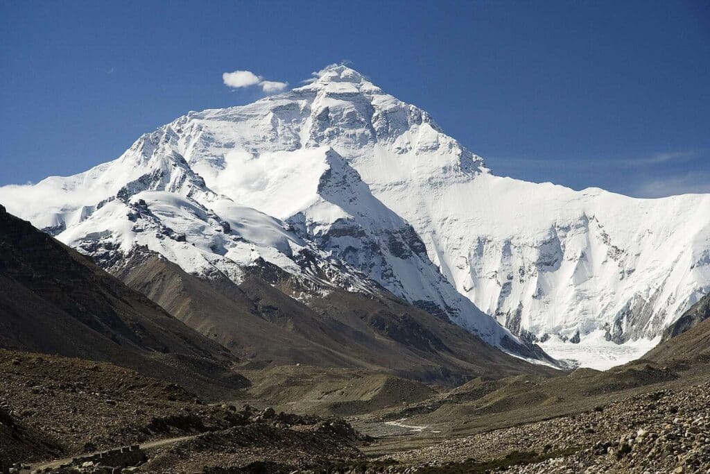
Mount Everest stands at 29,031.69 feet (8,848.86 meters) above sea level, making it the tallest peak on land. However, it may be “taller than it should be,” says Adam Smith, a researcher at University College London’s Earth Sciences department.
In the Himalayan range, most mountains differ in height by about 164 to 328 feet (50 to 100 meters). However, Everest is 820 feet (250 meters) taller than K2, the next highest peak. Smith said this unusual height difference suggests something unique may be happening with Everest.
The Arun River might be the cause
Mount Everest is growing faster than expected, rising at about 0.08 inches (2 millimeters) per year, according to GPS data. This rate is higher than what’s typically seen in the surrounding Himalayan mountains. To uncover the cause, researchers explored whether the region’s unique river systems might be playing a role.
The Arun River stands out as particularly unusual. Unlike most rivers that follow a tree-like pattern—with a straight trunk and tributary branches—the Arun flows in an “L” shape.
#MountEverest is getting TALLER by the day: World's highest mountain has grown by up to 164ft over the past 89,000 years – and there's an unusual reason why pic.twitter.com/f3Yi6skMAY
— Hans Solo (@thandojo) October 2, 2024
The river travels from east to west before sharply turning south as it cuts through the Himalayas. This distinctive path hints that the river may have recently changed its course or potentially taken over another river.
In a study published on September 30th in the journal Nature Geoscience, researchers used numerical models to trace the evolution of the Kosi River network, which runs through China, Nepal, and India.
By simulating how the river changed over time, they were able to compare these models to the current landscape. This allowed them to identify which simulation matched the real-world topography most accurately.
Everest has grown by 50 to 164 feet due to river erosion
The study’s findings indicate that about 89,000 years ago, the Arun River, now a major tributary of the Kosi River, was taken over by the Kosi. This diversion triggered intense river erosion, forming the Arun River Gorge.
Researchers suggest that the creation of this gorge, along with the erosion, reduced the surrounding landmass.
This decrease in weight made the area lighter, allowing Mount Everest to rise. The models estimate that the mountain has grown by 50 to 164 feet (15 to 50 meters) since this event.